
Existing Conditions
The Corn Neck Road project area, specifically along the stretch from Scotch Beach Road to Old Harbor (Site) is located within the Town of New Shoreham on Block Island, just North of Old Harbor. This segment of the Corn Neck Road, approximately 6,000 feet or 1.2 miles long, is situated on a landmass that is only approximately 500 to 800 feet wide (West to East) at the narrowest section.
The project section of roadway essentially runs across low-lying dunes and marsh between two glacial moraine deposits comprising the North and South portions of the island. Corn Neck Road runs from the northern tip of the Block Island and ends near the southern boundary of the Frederick J. Bensen Beach (Town Beach) at the Old Harbor jetty structure. The Road is 3.78 miles in length per Rhode Island Geographic Information System (GIS) RIDOT Roads (2016) dataset. It is a state roadway and is classified as a Major Collector per Rhode Island DOT. The Road, a critical infrastructure in the Town, is the “sole” corridor that connects the northern and southern parts of the Island.
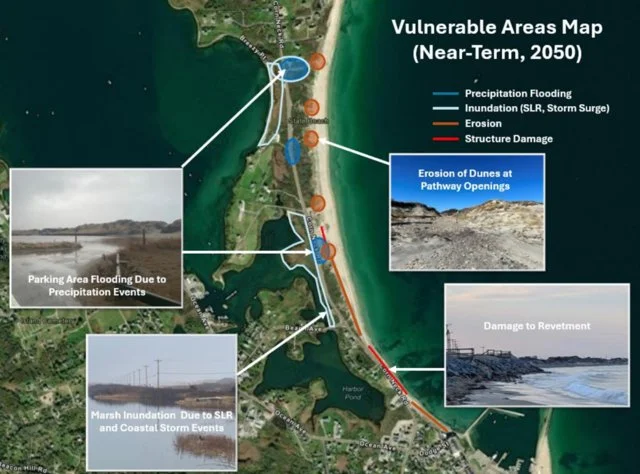
Corn Neck Road is pitched to the East and raised above the Scotch Beach access and the Town Beach parking area. These areas are also at a lower elevation than the dunes seaward, and this combination makes the parking areas, just off Corn Neck Road, vulnerable to surface water runoff from the roadway and wave overwash from the beach. The low-lying parking areas are susceptible to flooding due to large coastal storm events, precipitation events, and potentially due to its low elevation ground water intrusion with rising sea levels.
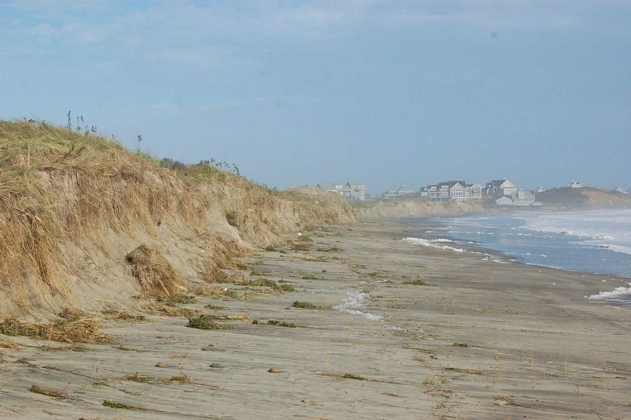
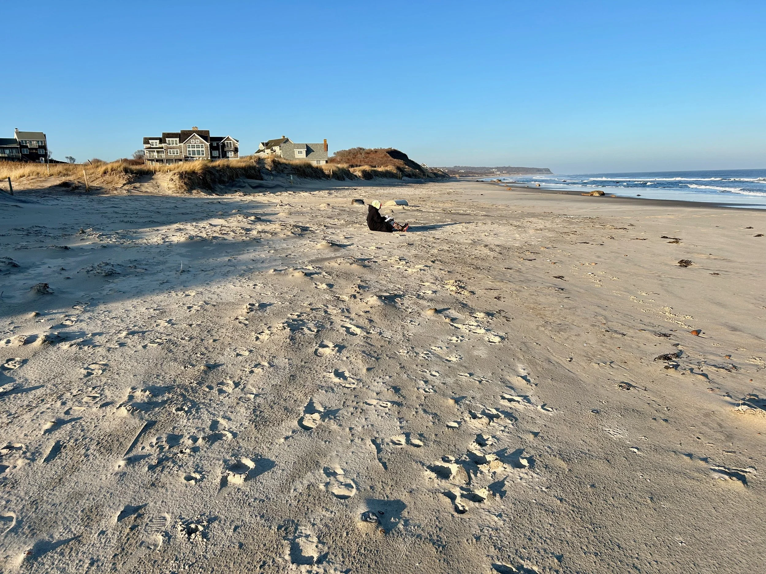
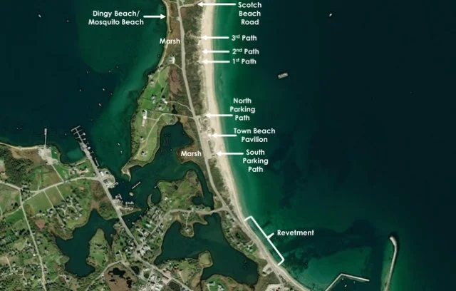
Within the Site, there are 6 beach access paths through the dunes - 1st, 2nd, 3rd, Baby Beach, and the North and South Town Beach parking area paths. Each of these pathways has damage from a combination of pedestrian foot, car, and cart traffic as well as coastal erosion due to storm events. Pedestrian damage of the dune system is primarily caused by flattening and moving sand and stepping on juvenile plants trying to establish and stabilize the dunes. This is particularly pronounced on the seaward edge of the dunes where pedestrians “fan out” to access various areas of the beach, reducing dune height and vegetation growth in these areas.
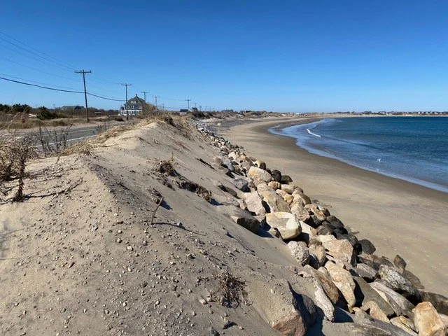
The coastal revetment along the southern end of Corn Neck Road is located within feet of the edge of the roadway, is very steep, and has a toe that is submerged daily due to normal high tides, leaving the revetment susceptible to any wave action. The steepness of the revetment increases its vulnerability to a stability failure during a coastal storm event, which could then, due to its proximity, damage or undermine the roadway. This occurred during Hurricane Sandy in 2012 and a large, 1,800 foot long, section of roadway needed to be replaced, along with the revetment.
Key Areas
Vulnerable Areas
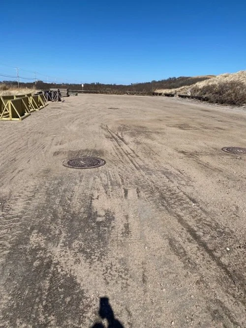
Town Beach Parking Area – North Lot

Aerial View of Town Beach Parking
Revetment

Aerial View of Revetment

Dune Beach Access Path

Aerial View of Access Paths
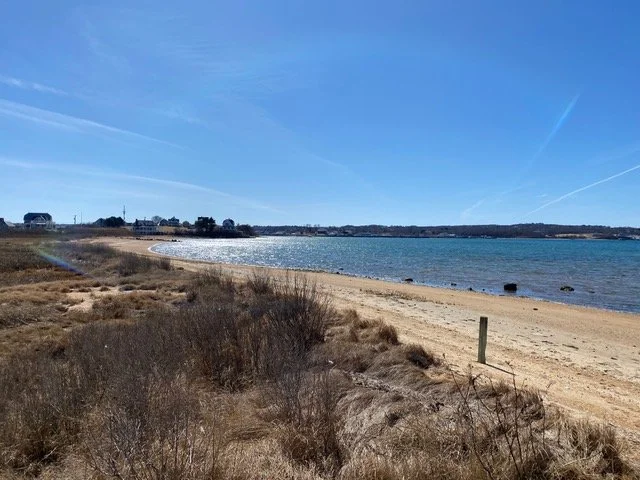
Dingy/ Mosquito Beach Marsh

Aerial View of Dingy/ Mosquito Beach Marsh

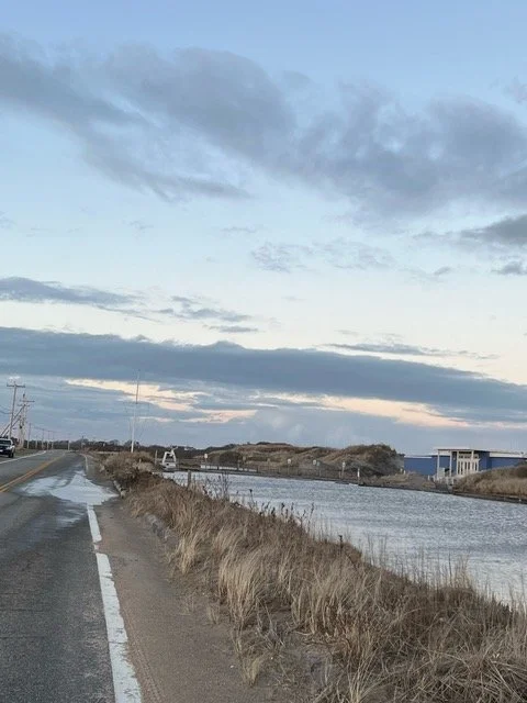
Scotch Beach Road
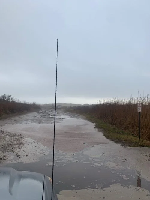
Scotch Beach Road Flooded After Rainfall

Aerial View of Scotch Beach Road
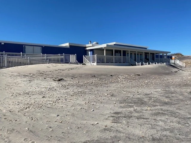
Town Beach Pavillion
Flooded Town Beach Parking Area – South Lot